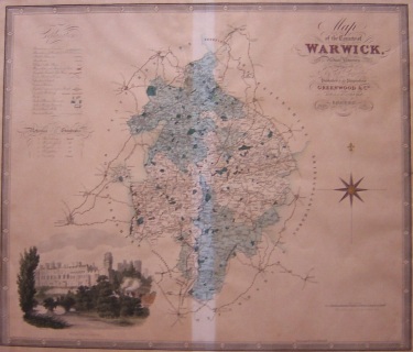
_A large and attractive map of Warwickshire from Greenwood's "Atlas Of The Counties Of England". A detailed vignette view shows Warwick Castle. The maps were published separately before the atlas appeared as an entity from 1834. Christopher and James Gree
This map is taken from the 1834 atlas. There is a centre fold and no age toning in the central area protected by the centre spine. The rest is evenly age toned.
The price reflects this uneven age toning.
£
50.00
